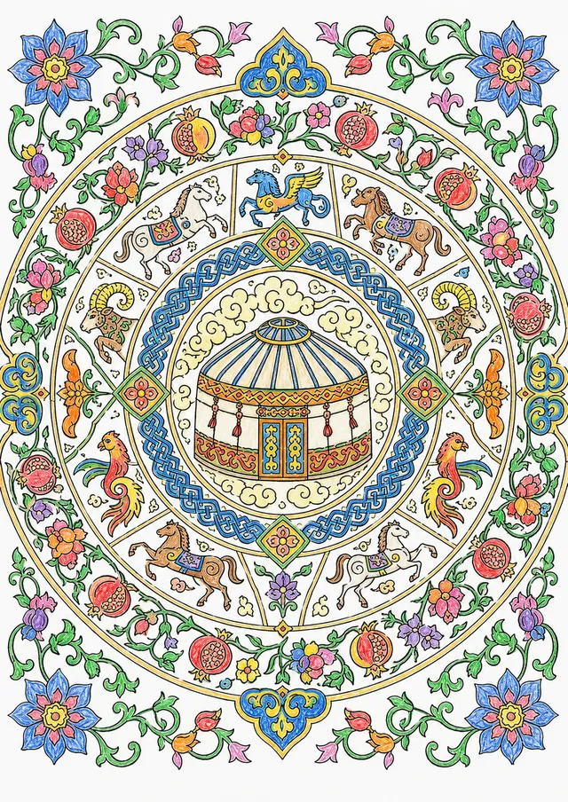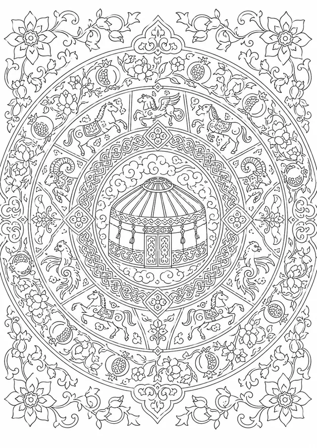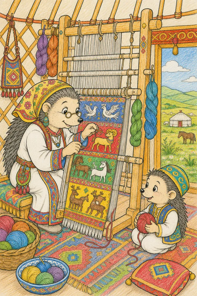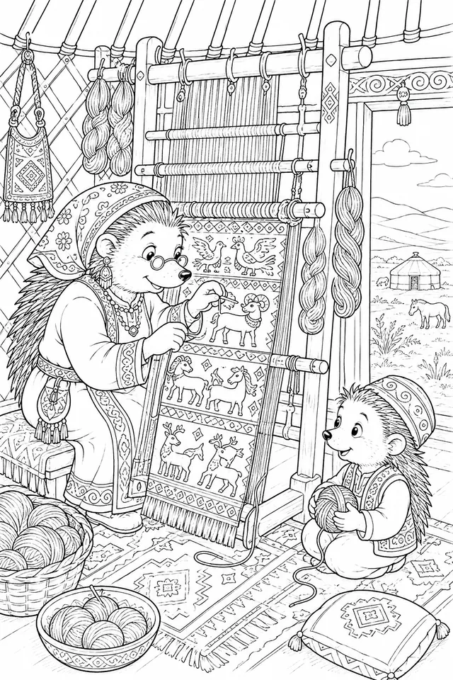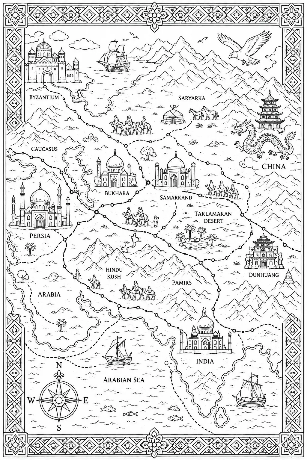
Central Asian Silk Road Map as an Image
9+
style_gemischte technik
Recommended materials
colored pencils
fine-liners
This is how it could look
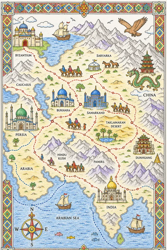
Decorative historical map: elaborate illustrated map of Silk Road routes across Central Asia in medieval/classical cartographic style with geometric precision. Major route branches: from China in east (pagoda and dragon), across Mongolian steppe and Taklamakan desert, through Samarkand and Bukhara (ornate domes), to Persia (mosque) and Byzantium (city gate) in west. Mountains, deserts, oases illustrated. Camel caravans on routes. Sea routes shown. Cities as small illustrated buildings. Compass rose. Decorative geometric border in traditional Central Asian style.